plac Generała Walerego Wróblewskiego, Wrocław
Updated
Listen to how the story begins
0:00 / 0:45
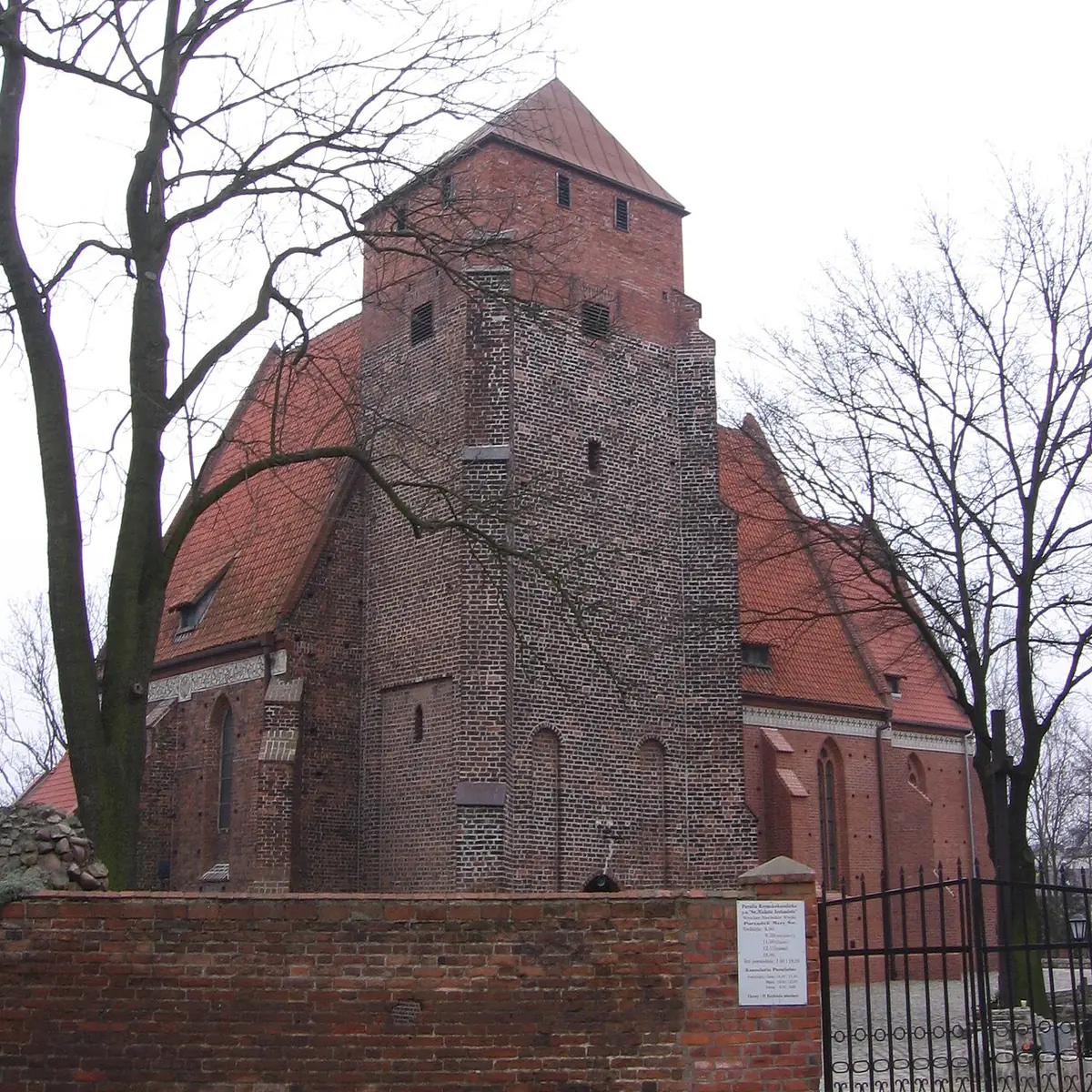
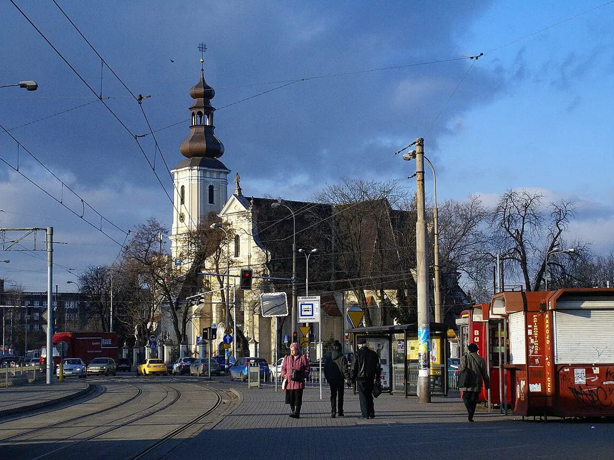
Plac Generała Walerego Wróblewskiego is now less a traditional square than a crossroads shaped by what has vanished. Tram tracks converge here from four directions, and the traffic layout is almost all that survives of the old place. Along its western edge, the walled compound of Saint Maurice’s Church and its rectory forms the principal surviving fragment of the former streetscape.
This was originally the far end of Walońska Street. Its deeper history reaches to a Walloon settlement established here in the twelfth century, near Saint Maurice’s Church, which was built in twelve thirty-four. During the thirteenth and fourteenth centuries, those Walloon residents worked as weavers and used common grazing land between the Oława and Odra rivers.
Buildings already stood around this area by the mid-sixteenth century, and the district entered Wrocław in eighteen oh eight. The square formerly carried the name Mauritius Platz until nineteen forty-five, then Plac Wołoski, before receiving its present name on the eighteenth of March nineteen fifty-one. In the nineteen seventies, the surrounding buildings were demolished for the road scheme of nearby Plac Społeczny and its elevated roads. The emptiness around you is therefore not accidental: it is the physical record of a neighbourhood remade for traffic.