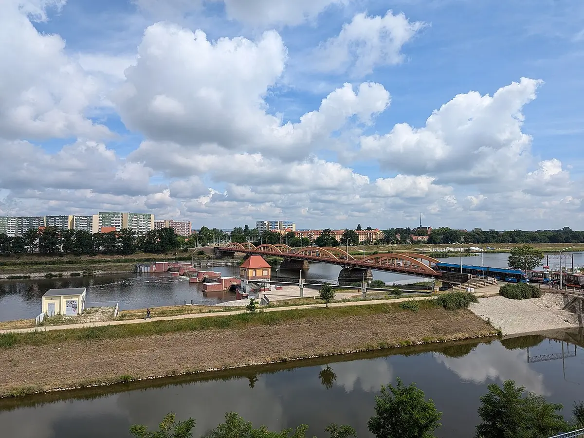
Most Trzebnicki Północny, Wrocław
Most Trzebnicki Północny carries a remarkably old route across water: people were already using a river ford here during the Neolithic, in the third millennium before Christ. In later centuries, a wooden bridge on the road from Wrocław to Trzebnica repeatedly disappeared in floods and wartime destruction, then returned through rebuilding and repair. The bridge in front of you belongs to the great remaking of Wrocław’s waterways in the early twentieth century.
Built in 1916, it is a steel structure of four arch spans, stretching 218.5 metres in all. Its route is unusually varied: the first span runs over flood-prone ground, the middle pair cross the river, and the last reaches over the Navigation Canal leading toward Różanka Lock. The pavements sit beyond the arches, while the narrow carriageway carries both road vehicles and a double tram track.
After the 1997 flood, a tall steel cross was placed on the small island between the canal and river. Its painted mark preserves the water level reached during the flood crest on the twelfth and thirteenth of July 1997.
Good for
History, Architecture


More places in Wrocław
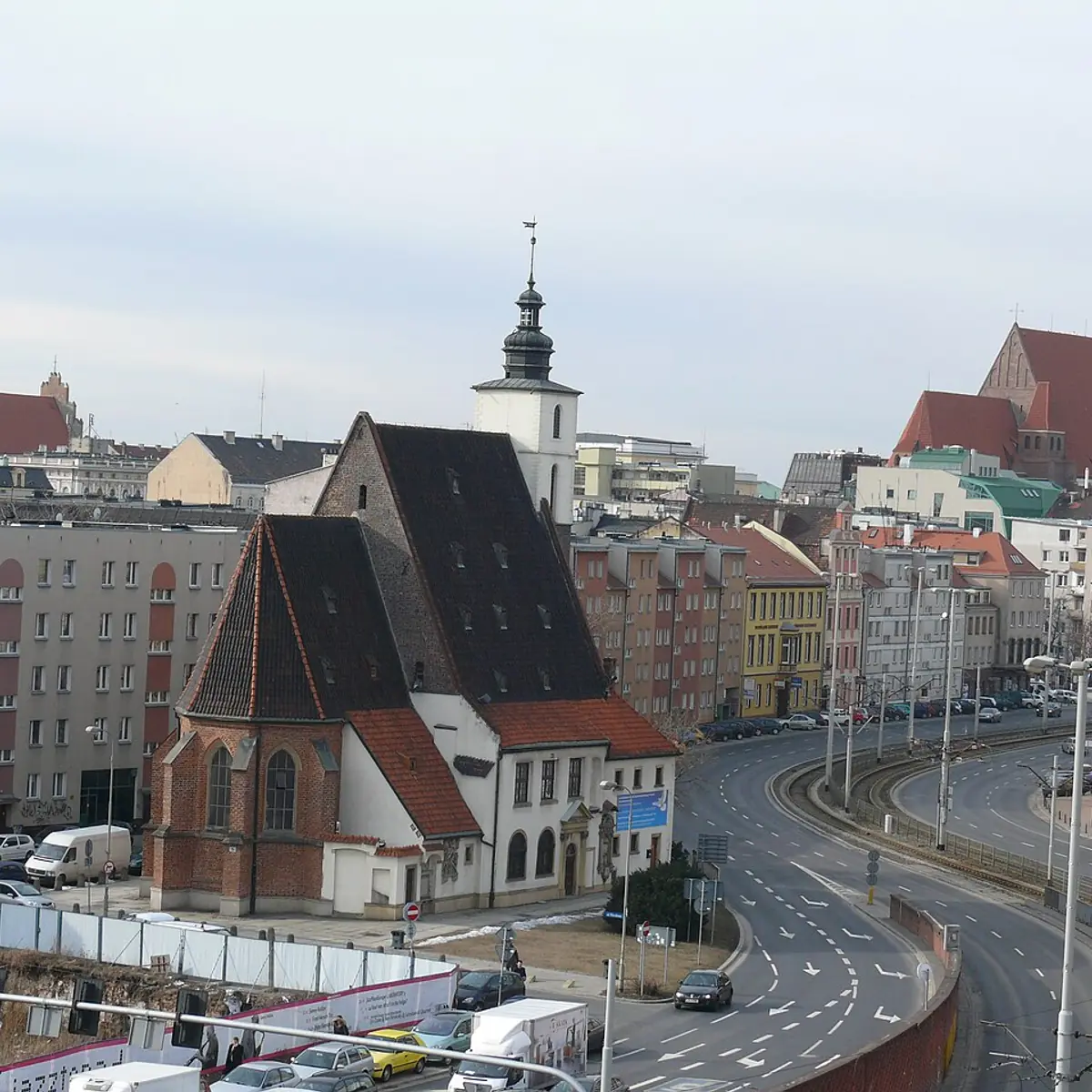
iBasik07 Barbara Wrzesińska (CC BY-SA 3.0 pl) Kościół Świętego Krzysztofa
history
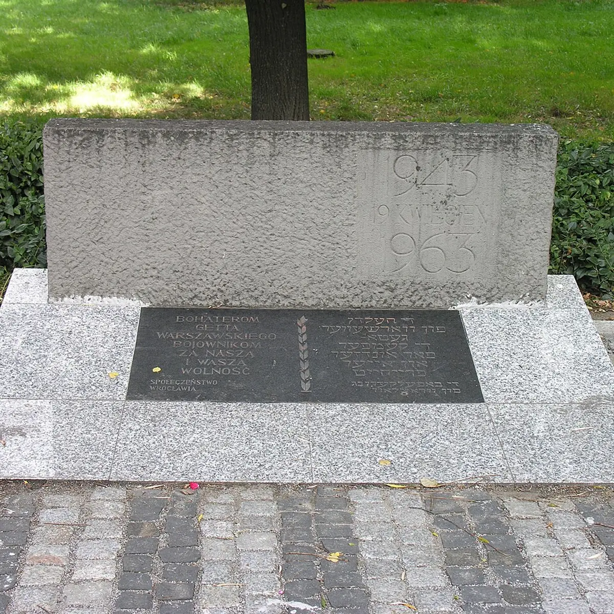
iBonio (CC BY-SA 3.0) Pomnik Bohaterów Getta Warszawskiego
history
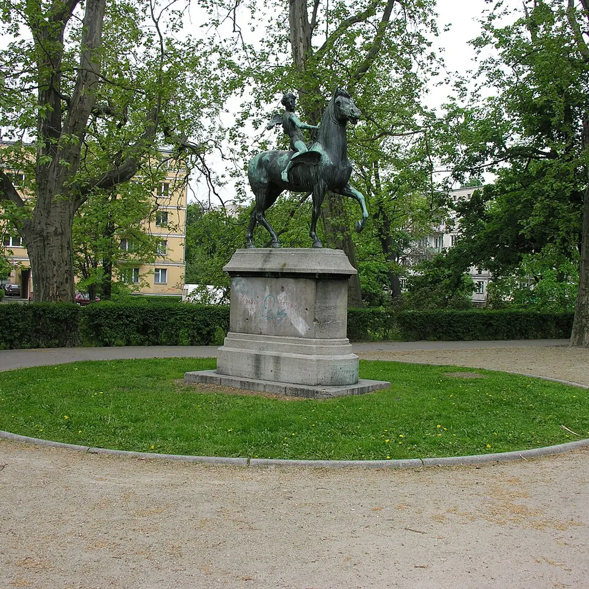
iTheodor von Gosen (CC BY-SA 3.0) Amor na Pegazie
history
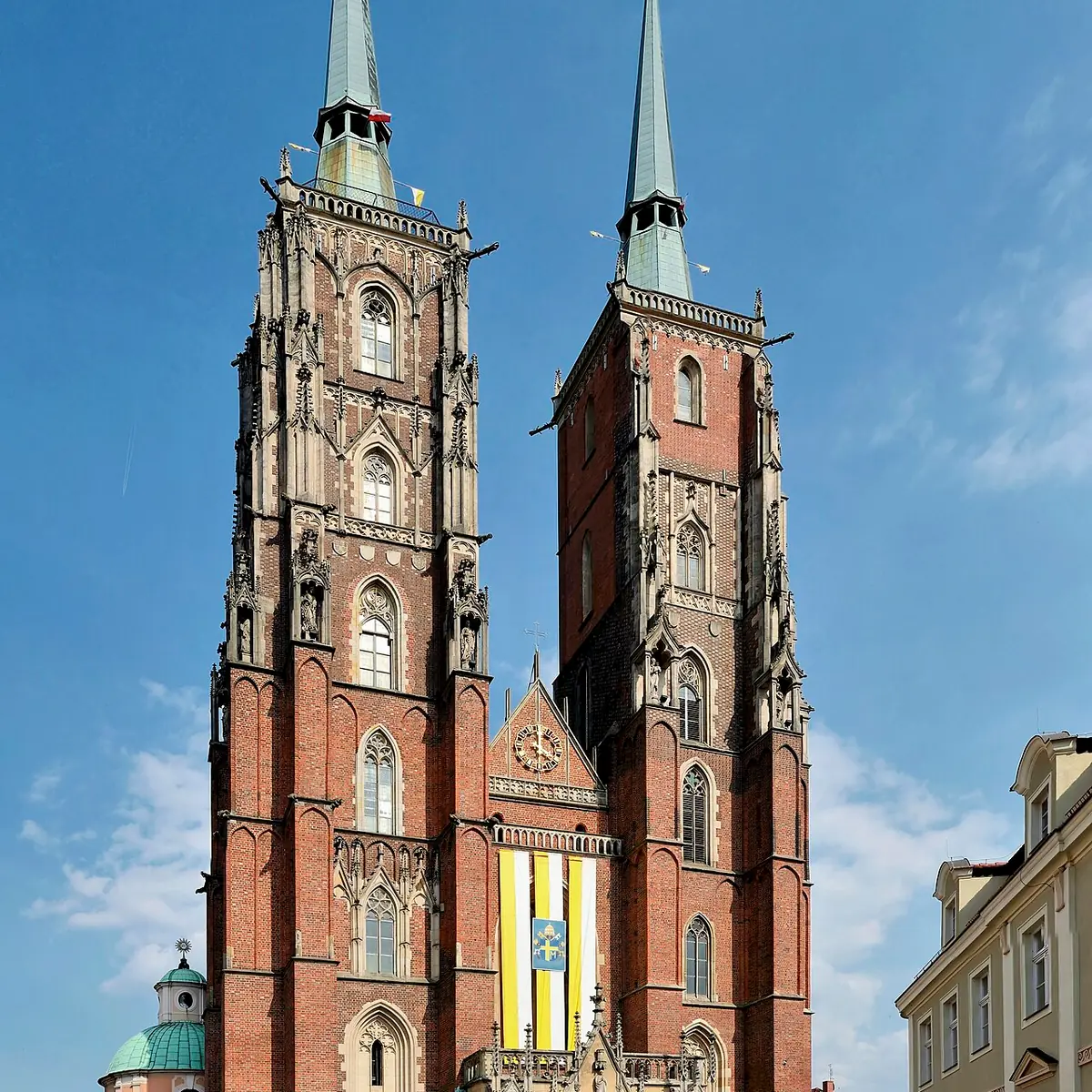
iWrocław - Archikatedra św. Jana Chrzciciela1.jpg derivative work: Hic et nuncTaxiarchos228 derivative work: Hic et nunc (FAL) Archikatedra Świętego Jana Chrzciciela
history